Global Positioning System (GPS)
PathAway navigation system uses satellite signals to determine
your exact location, speed and direction of travel. PathAway
will work with most handheld GPS units, Palm Add-on GPS devices,
Compact Flash GPS, and Bluetooth GPS.
Supports any NMEA0183 v2.0 or higher compatible GPS device
(this encompases the majority of GPS devices on the market).
Delorme Earthmate, and Tripmate proprietary protocols are
also supported.
GPS is not required to use the software. Pathaway's powerful
hi-res mapping engine allows you to capture and view all your
maps.
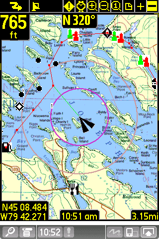
Navigation
- GPS support for most devices.
- Customizable screens can display current location, elevation,
speed, direction, plus navigational information such as distance,time,
and direction to destination. Over 30 different display options
available.
- Moving map centers on your current location. While travelling,
you can set the map to be always North up, or have the map
rotate so your direction of travel is always facing up.
- Record your track for later back-tracking, or reviewing
the journey.
- Proximity notification displays points you are approaching,
their distance away, and position relative to your direction
of travel.
- Big Compass screen can show your most important information
at a glance. Customize the Compass to suit your needs.
Maps
 -
Prepare your own maps for use in PathAway, using the free
Map Manager application. Scan your paper maps or get digital
maps from CD ROM software, or web sites. -
Prepare your own maps for use in PathAway, using the free
Map Manager application. Scan your paper maps or get digital
maps from CD ROM software, or web sites.
- Multi-resolution color support. (Grayscale, 256 color, and
new high definition color).
- Zoom in-out between maps of different resolution.
- Scroll by dragging map with the stylus.
- Map calibration. Once maps have been transferred to the
device, you can fine-tune the map coordinates by matching
the positions of known points on the maps, with the actual
position displayed by the map.
Points
- Capture and mark unlimited number of points and locations.
- Use long names and descriptions for easy recognition.
- Apply an icon to each point. Even create your own icons using
PathAway Tools for Windows.
- Goto points on the map, or points along a track.
Routes
- Create routes by simply clicking points on a map, or by
adding points from your Points database.
- Choose a recorded track to follow.
- Follow routes either forward or reverse (back-track). Great
for finding your way home.
- Simulate (play) your route travel before you go.
- Determine your total distance and estimated travel time
to destination. Time can be estimated by current speed, average
speed, or a custom speed setting.
Tracks
- PathAway can record your location at regular intervals
as you travel with a GPS.
- The track line is displayed on the map as you travel.
- You can then reuse the track to follow at a later time.
- Time and distance are recorded in the track log, useful
for accurate travel planning.
- All track points can be added to your points database.
Screen Views
- Full Screen Map View
- Route View
- Tracking View
- Proximity View
- Points View
- Compass View
- GPS Sky View
- GPS Data View
User Interface
- Preferences for distance and elevation units, course display,
time estimation, proximity notification, map display detail,
and track recording precision.
- Use of device "hard" keys for easily adding points,
scrolling maps, changing views, connecting/disconnecting to
GPS. Hard keys are customizable for easy access to your favourite
functions.
In-Hand Data Management
- Edit point, route, and track databases including: changing
order, renaming, joining, duplicating, and copying records
between databases.
- Beam databases to others.
Windows PC-based Management
PathAway Tools - Map Manager
- For preparing maps to use on the device. You just need
to specify the longitude and latitude coordinates of each
map.
PathAway Tools - Icon Manager
- For adding icons for points and vehicles to be used
on the device. Create your own using a bitmap editor, and
add them to your icons database.
PathAway Tools - Database Import/Export
- Import/export Points, routes, and track databases. transfer
between standard comma-delimited files. (currently available
in command prompt and Windows DLL only)
|
