PRESS RELEASE
Aug 8, 2014
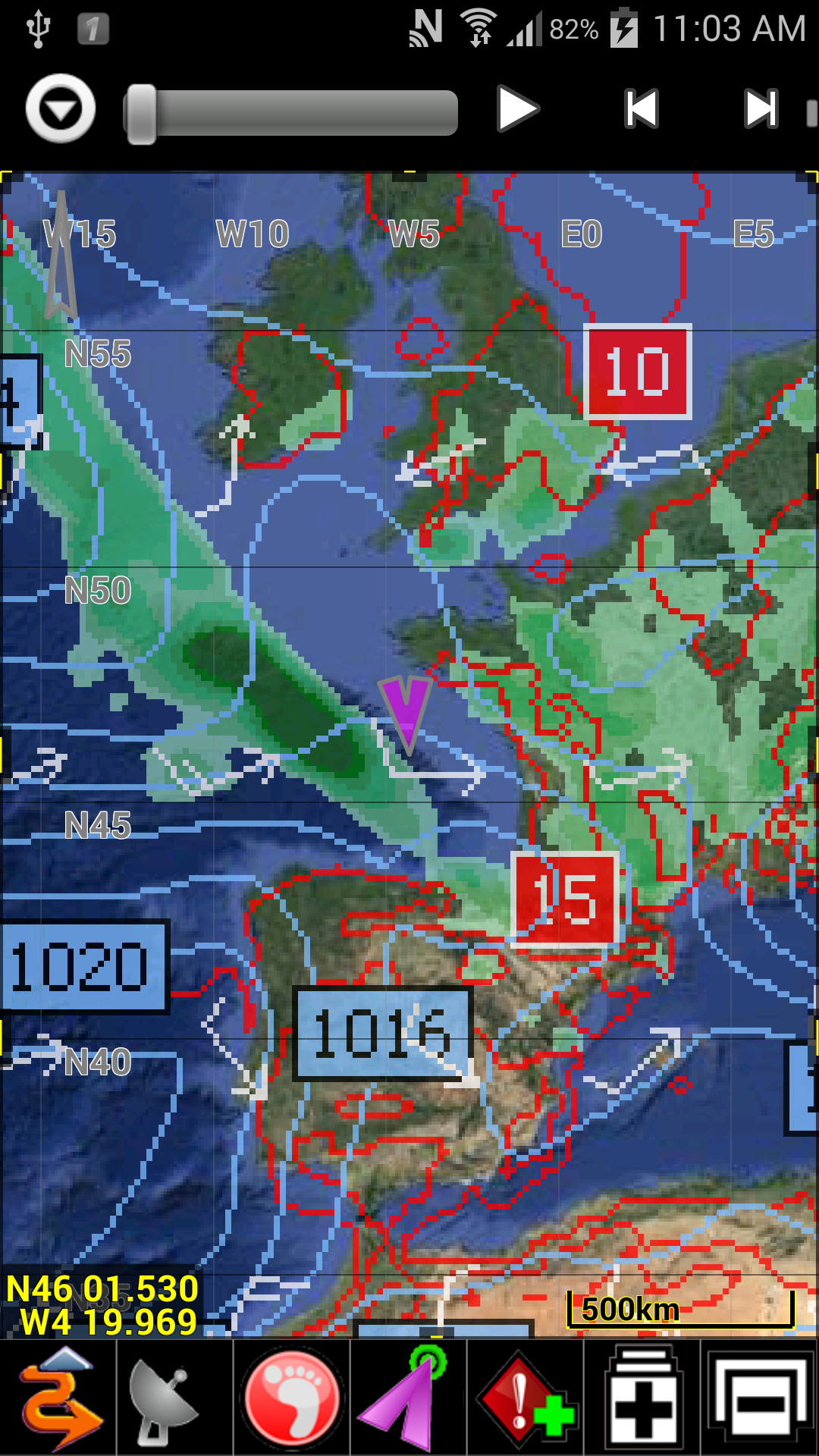
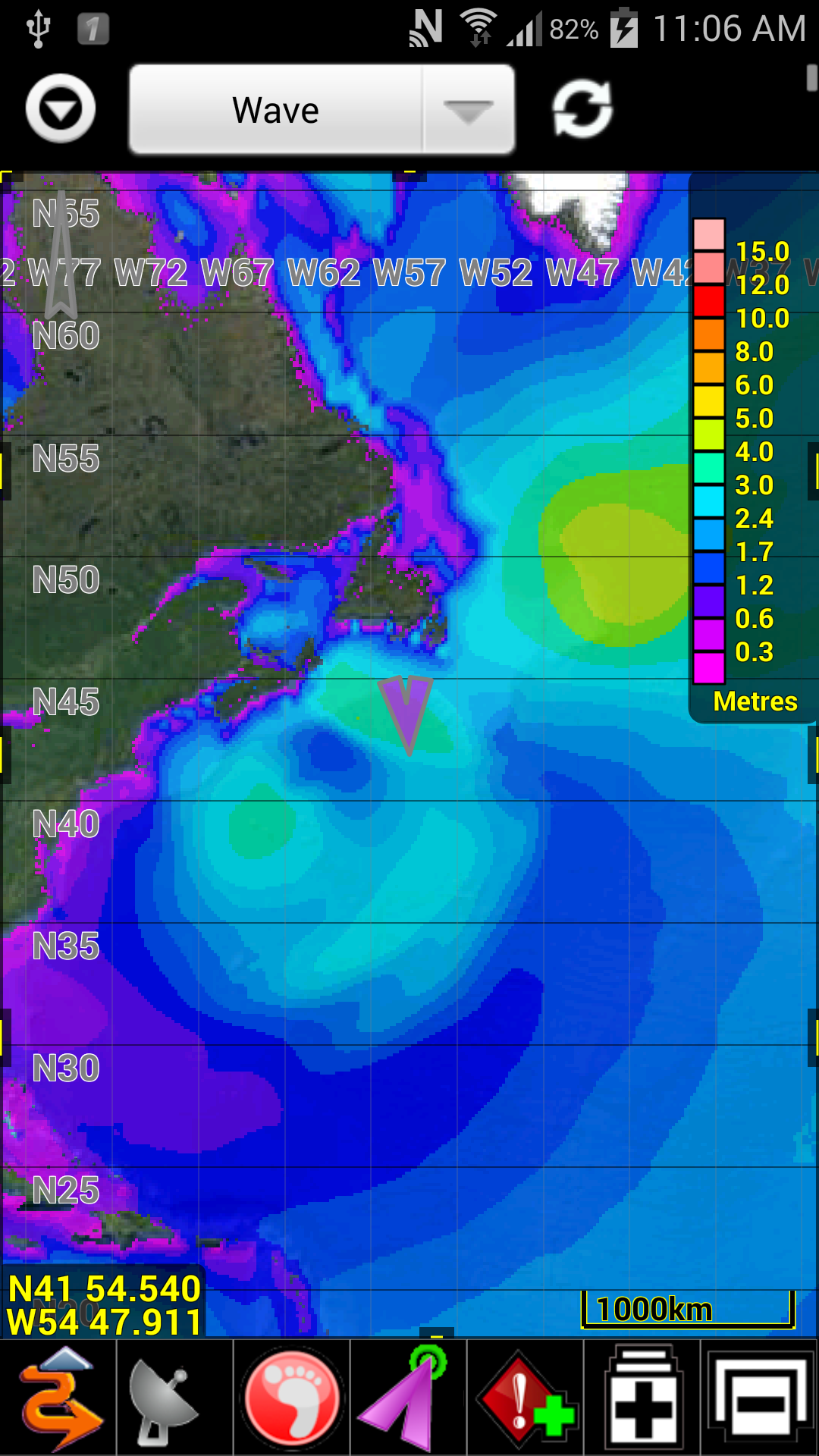
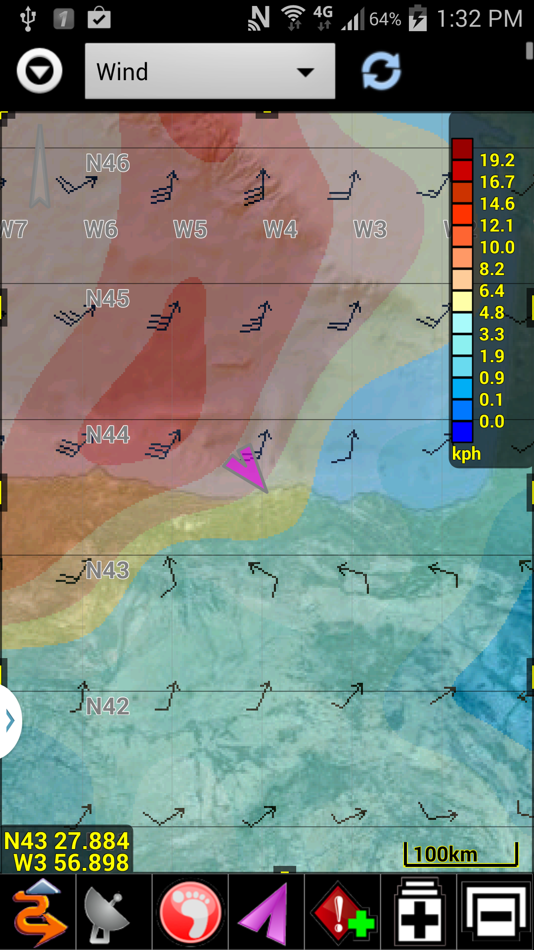
PathAway Outdoor Navigation App adds Weather Forecast Overlays
Provided by Theyr Weather’s Real-Time Precision Weather models
Bracebridge, Ontario, Canada -- MuskokaTech; a leading provider of GPS Navigation, Tracking, and mapping software for mobile devices, today announced the availability of Precision Weather Forecasts Overlays for their line of PathAway Apps for mobile smartphones and tablets. Released now for the Android Edition, and coming soon to the iOS products on iPhone and iPad.
Weather features appear directly over existing maps in real-time, offering valuable information for navigation decision making. Included for FREE, to showcase this incredible new feature, are 12 hour Weather Forecast overlays for Wind Speed/Direction, Temperature and Precipitation in low resolution (1.0 degree).
The Theyr Premium subscription delivers 6 day weather and ocean forecasts using the NOAA Global Forecast System (GFS) 0.5 and 1.0 resolution data, High resolution NMM 0.1 and 0.045 degree data for North America, 0.04 degree West Europe and 0.08 degree Southern Hemisphere data. Data types include Wind Speed and Direction, Air Pressure and Temperature, Precipitation, Wave Height, and Sea Surface temperature.
“While the weather overlays are very useful for all outdoor GPS users, our marine and aviation users are especially excited about this feature to accompany their navigational needs.”, says Scott Northmore, CEO at MuskokaTech, “Outdoor activities are directly affected by weather, so the inclusion of Weather information is a great benefit for real-time visualization for route planning purposes.”
"It's great to see our precision weather and ocean forecast data combined with PathAway applications.”, says David Young, Managing Director, Kona Limited, “The combination is such a natural fit, we believe users will be very pleased, and at times even relieved that such detailed weather forecast information is instantly accessible via their favourite application.”
About MuskokaTech Inc: Founded in 1999 in Ontario, Canada, MuskokaTech is a leading global provider of GPS navigational, mapping, and tracking software for the mobile computing devices. The company's flagship product, PathAway, is used by outdoor adventure enthusiasts engaging in activities such as hiking, cycling, running, touring, aviation, boating, rally racing, athletic training and more. Professionals use PathAway in areas such as mapping/GIS, tourism, mining, military training, wildlife study, search and rescue, location surveying, site inspection, field data collection, and more. PathAway is distributed internationally on http://PathAway.com and through retail partners. PathAway Apps include 9 different languages. Further information can be obtained at http://PathAway.com.
About Kona Limited: Incorporated in England and Wales, Kona Limited operates the service Theyr.com to put precise high quality, low cost weather forecast data at your fingertips anytime, mobile or at home. Multiple levels of live forecast data are available, from the high-resolution NMM data used for marine and wind energy forecasts, to the low and medium resolution Global Forecast System data. Theyr provides fast and accurate information for all types of navigational weather. Further information can be obtained at http://Theyr.com.
###
PathAway is a trademark of MuskokaTech Inc. All other brands and product names may be trademarks or registered trademarks of their respective owners.


News (click HERE to subscribe or unsubscribe to our Press Release Mailing List
-
July 2022
PathAway 7 Released -
August 2016
Night Mode added to PathAway PRO -
April 2015
PathAway New Design released! -
November 2014
PathAway Professional Edition released for iPhone/iPad -
August 2014
Weather Forecast Overlays added to all PathAway Android Editions -
Sept 2013
PathAway Professional Edition released for Android Smartphones and tablets -
May 2012
Direct BSB/KAP support added for Android and iPhone/iPad